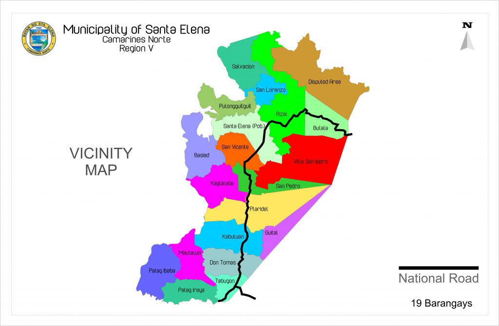
The municipality’s population based on 2022 Community-Based Monitoring System (CBMS) is 42,536 persons in 19 barangays with an average household size of 4.18. Urban barangays of San Lorenzo and Santa Elena(Pob.) represent 36.76% of the total population with average household size of 4.37.
From among the barangays, Santa Elena(Pob.) has 9,855 or 23% of the total population, while Villa San Isidro has the least with 302 or 0.71% of the total population with average HH size of 3.51.
Barangays Guitol and Villa San Isidro have the least average household size of 3.73 and 3.51, respectively. On the other hand, barangays Santa Elena(Pob.) and San Lorenzo show a large number of population and households compared to the rest of the barangays.
Distance
Based on the great-circle distance (the shortest distance between two points over the surface of the Earth), the cities closest to Santa Elena are Tayabas, Lucena, Naga, San Pablo, Calamba, and Tanauan. The nearest municipalities are Capalonga, Calauag, Tagkawayan, Quezon, Guinayangan, and Labo. Its distance from the national capital region is 267 kilometers.